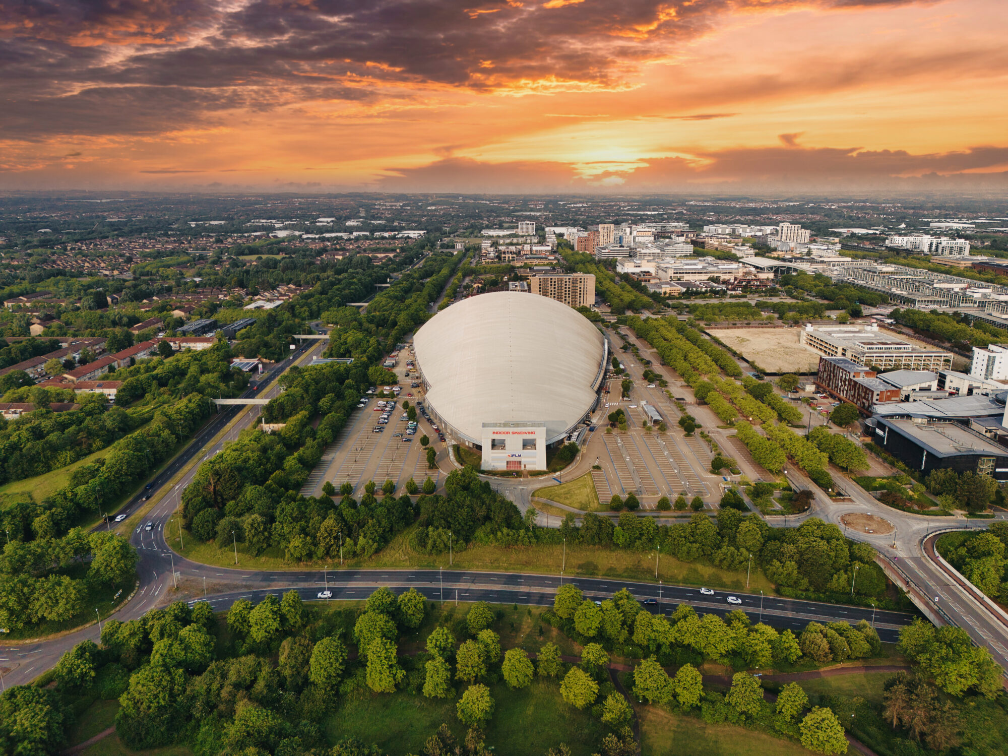
A journey through the architectural marvels and urban design of Milton Keynes, captured through breath taking drone photography. You really only get to appreciate the architecture displayed in Milton Keynes from above.
Campbell Heights: A Modern Architectural Statement
Perched in the heart of Milton Keynes, Campbell Heights exemplifies contemporary design and urban sophistication. From the aerial view, the intricate layout of the building complex is clear, showcasing a fusion of functionality and visual appeal. The geometric precision and thoughtful architecture make this a standout landmark in the city from above.
The Light Pyramid: An Illuminated Beacon
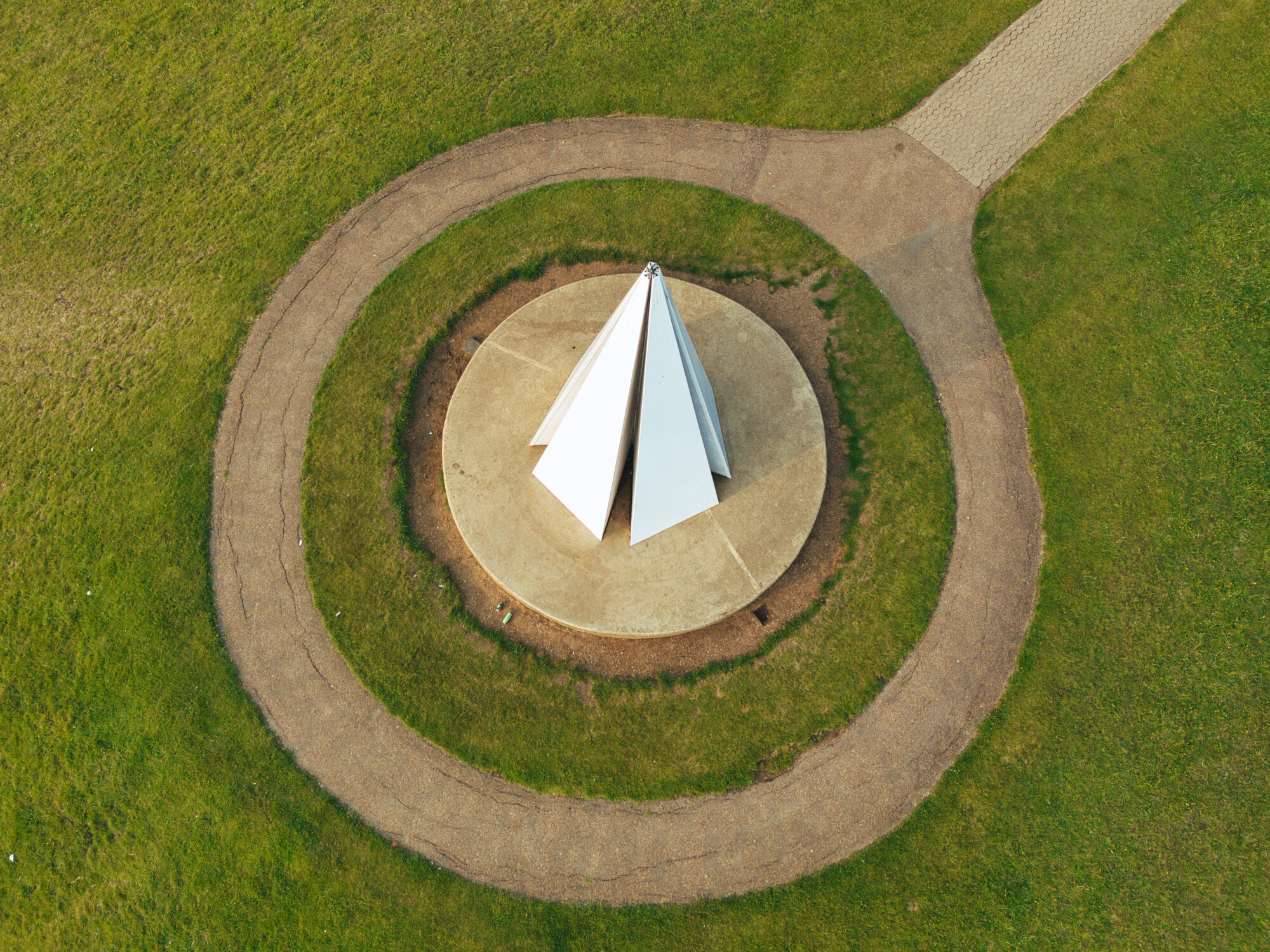
A popular gem in the Campbell Park landscape, the Light Pyramid stands as a striking centrepiece. With its sleek triangular form and vibrant illumination at dusk, this structure embodies artistic innovation. Capturing it from above offers a fresh perspective on its symmetry and grandeur, revealing how it interacts with its surroundings in a way unseen from the ground.
Xscape: The Hub of Entertainment and Adventure
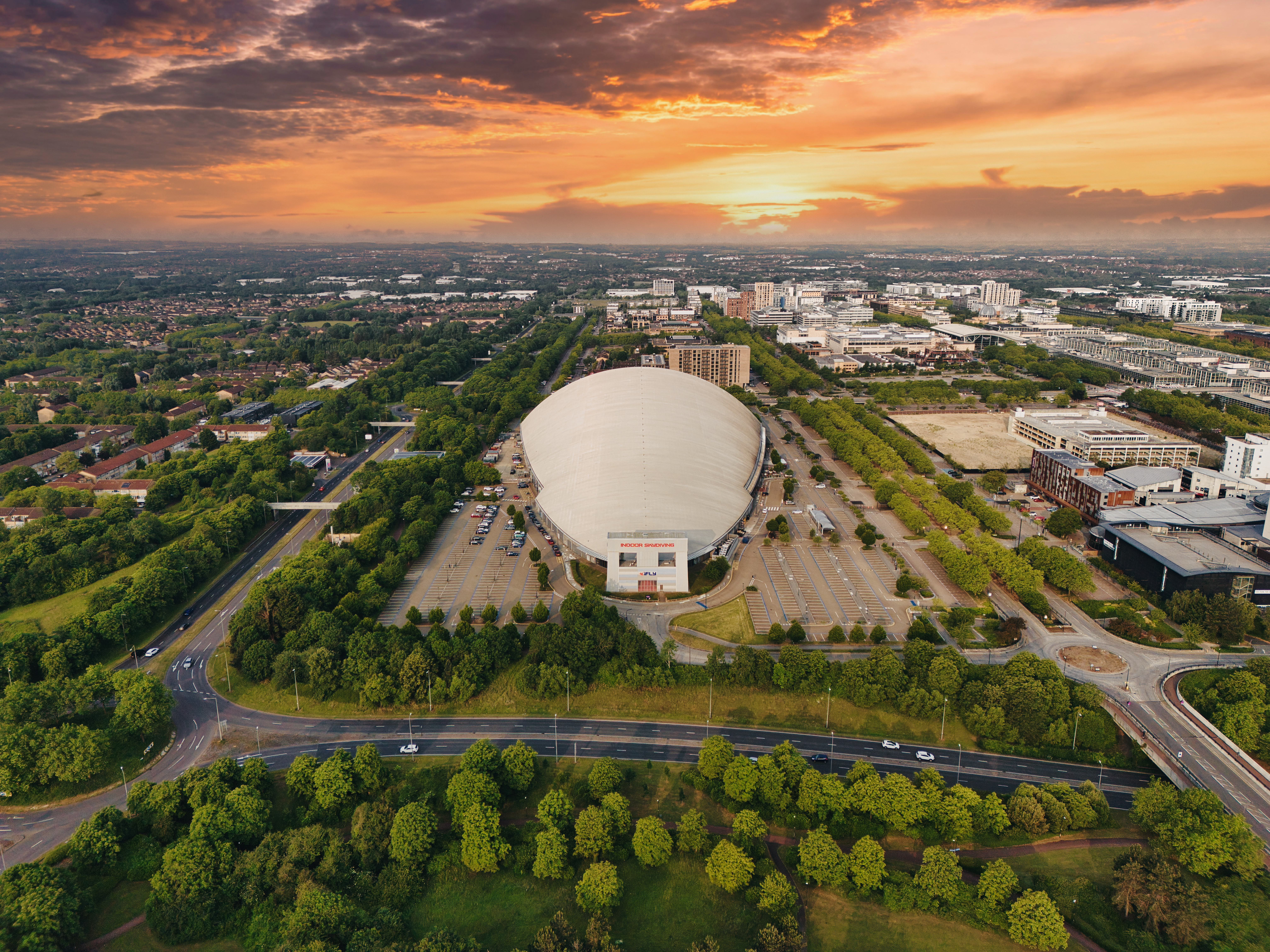
Xscape is synonymous with excitement and relaxation, offering a unique blend of leisure activities, from indoor skiing to shopping and dining. The aerial view reveals the sheer scale of this entertainment hub, highlighting its dynamic role in the city’s landscape. By incorporating drone imagery, the immersive experience of Xscape becomes even more palpable.
Centre MK: The Beating Heart of Milton Keynes
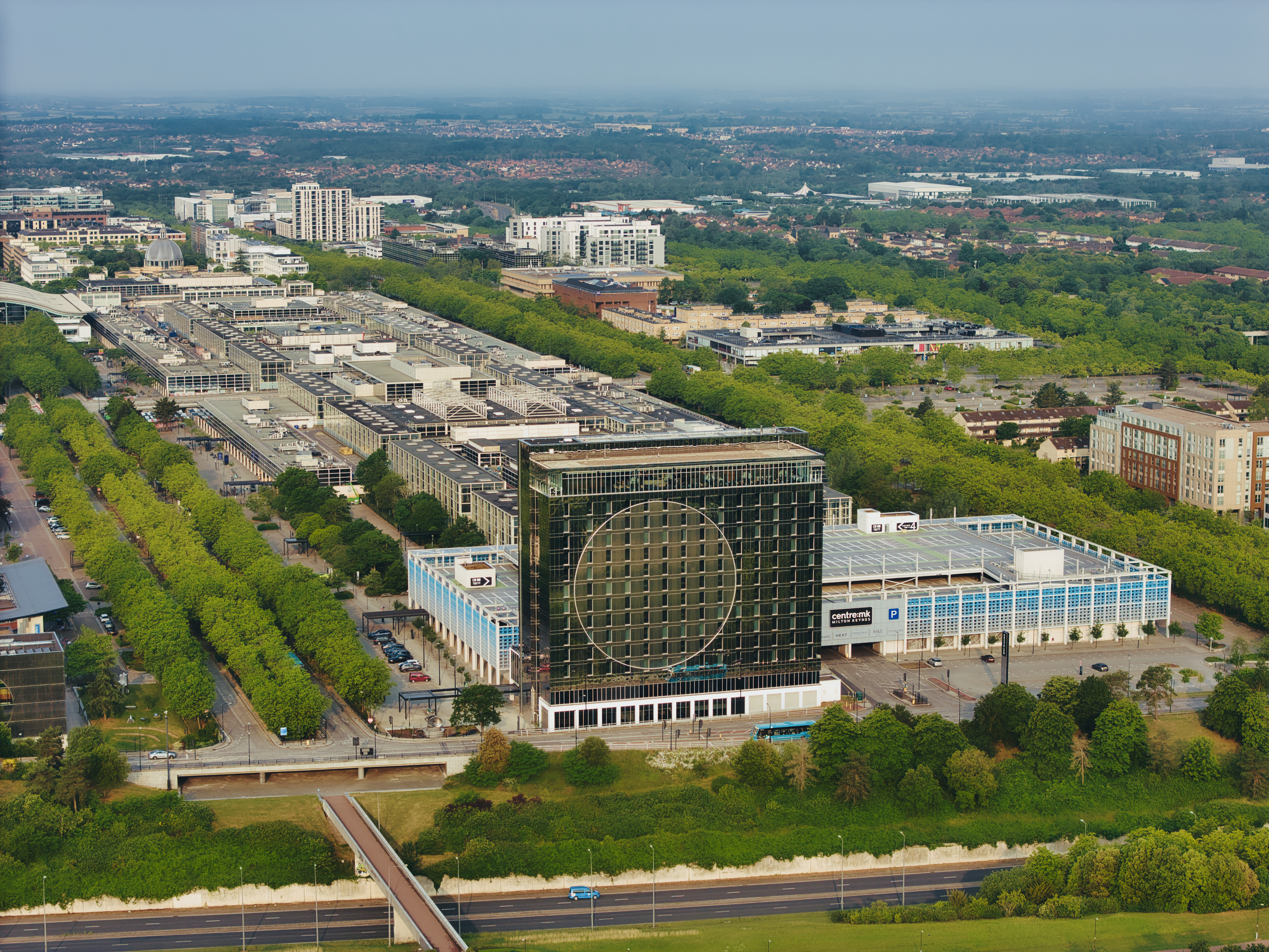
Centre MK is more than just a shopping district; it’s a thriving hub of culture, commerce, and social interaction. The grand layout is best appreciated from the sky, where its seamless connectivity and vast expanse become evident. From above, the architectural symmetry and bustling energy of this landmark tell the story of a city designed for movement and innovation.
Stadium MK: A Modern Sporting and Entertainment Icon
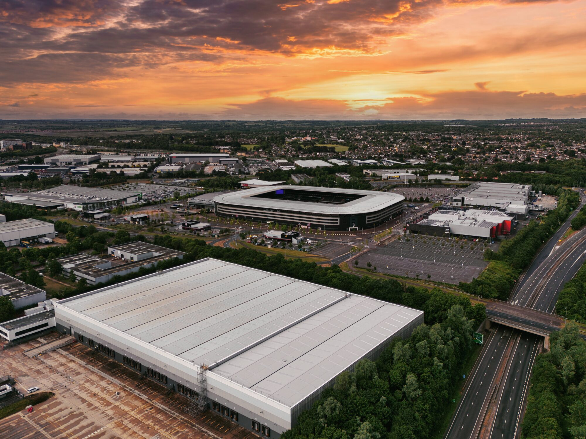
As the home of Milton Keynes Dons and a premier venue for concerts and events, Stadium MK is a beacon of energy and excitement. From a drone’s perspective, the sheer scale of the stadium is truly breath taking, its bold, curving design standing proudly amidst the cityscape.
The aerial viewpoint highlights the vast seating arrangement and architectural symmetry, offering a unique appreciation of its structure. Whether it’s packed with roaring football fans or hosting a high-profile event, Stadium MK is a dynamic landmark that embodies the spirit of Milton Keynes.
The Rose: A Symbolic Floral Tribute
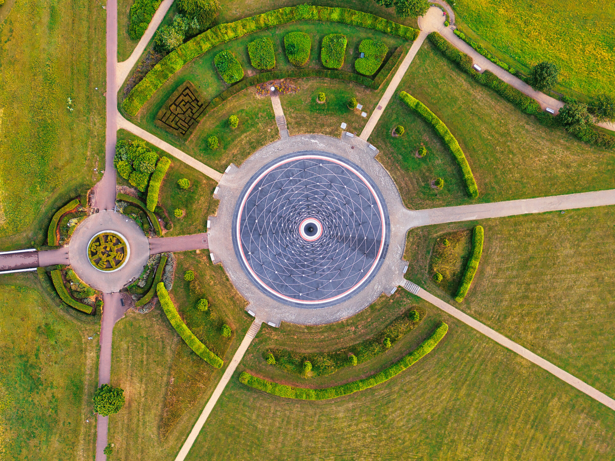
Nestled within Campbell Park, The Milton Keynes Rose stands as a powerful homage to Queen Elizabeth II’s life and service. Designed as a circular labyrinth with stunning symmetry, this unique installation represents growth, remembrance, and unity.
From a drone’s perspective, its intricate pathways and floral-inspired structure become truly mesmerizing, offering an unparalleled view of its design and significance. Capturing The Rose from above highlights the beauty of its detailed patterns, making it a great addition to the city’s architectural and cultural landmarks.
The Unique Straight Road Layout: A Vision in Urban Planning
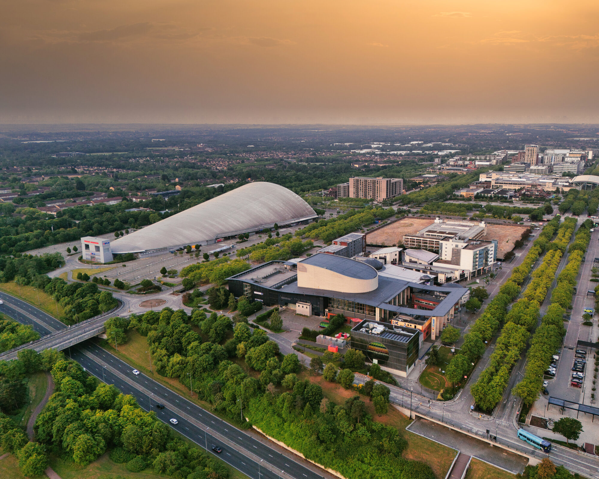
Unlike traditional British cities, Milton Keynes is distinguished by its meticulously planned straight-road design. From a drone’s vantage point, this unique feature unveils its full grandeur, a network of precision-engineered roads that streamline transportation and enhance the city’s modern identity. The contrast between rigid urban planning and the organic flow of daily life creates a fascinating visual experience.

