Sky Eye Imagery · Aylesbury & beyond
Drone photography & surveys in Aylesbury.
Show a property at its best. See the detail on a roof. Keep a construction project in view. Get the aerial imagery you need, with a clear plan from first call to final delivery.
Serving Buckinghamshire, London and the Home Counties.
Speak directly to your pilot: 07745 966840
- 24 years in the RAFA background in aviation
- A2 CofC & GVCQualified drone pilot
- Insured operationsProfessional flight planning
- One point of contactWork directly with Bitu Williams
The right view for the job
What do you need to see?
Practical imagery for property decisions. Standout visuals for your next story.
Roof & building inspections
See roofs, chimneys and hard-to-reach areas in detail. Get visual evidence to share with your roofer, property manager or surveyor.
Explore drone inspectionsProperty photography & video
Show the setting, scale and surroundings of a home or development with aerial photographs and video for your listing or campaign.
Explore property imageryConstruction progress
Give project teams and stakeholders a clear overview of a site, with aerial imagery to document progress and support project updates.
Explore construction imageryDrone mapping & 3D models
Bring land and buildings into focus with 2D mapping and 3D photogrammetry. Agree the coverage, outputs and accuracy requirements before capture.
Explore mapping & surveysAerial filming & marketing
Capture a fresh perspective for your business, venue or event. Plan the shots and editing around where you want to use the finished footage.
Explore drone videoThermal drone imagery
Capture thermal detail for property and inspection projects. Discuss the site, conditions and purpose with a pilot trained in thermography.
Explore thermal imagingLooking for something else?
Event & sports livestreamingIndoor FPV flythroughsDJI enterprise trainingLost dog searches
A view of the work
Real places. Clearer detail.
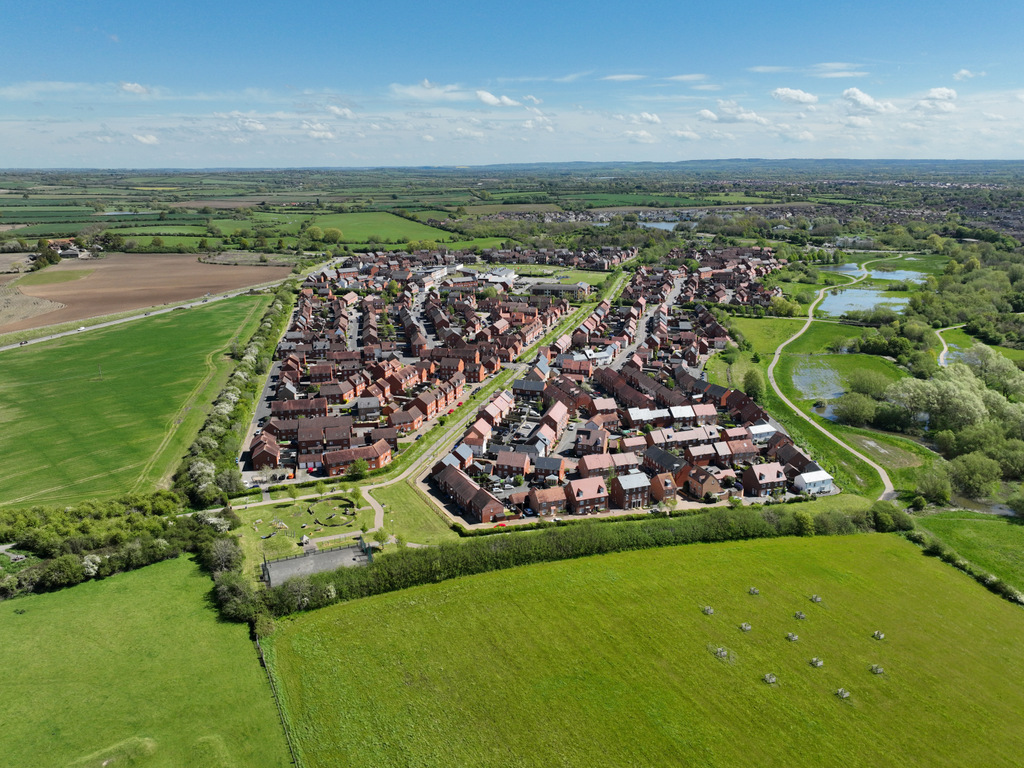
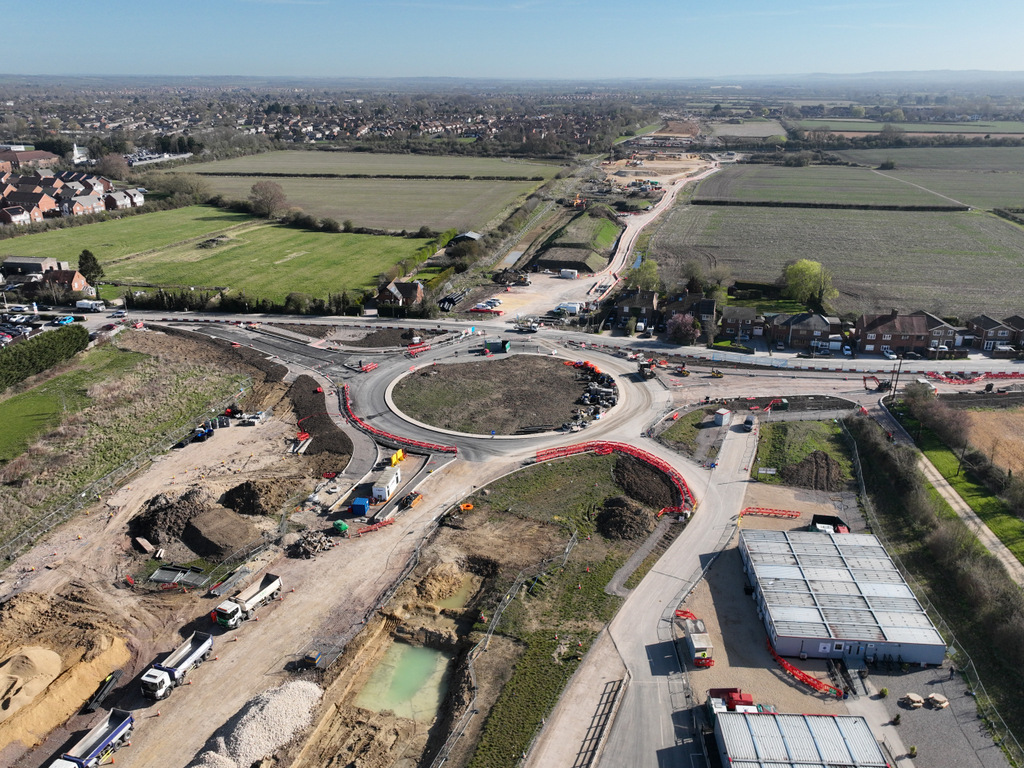
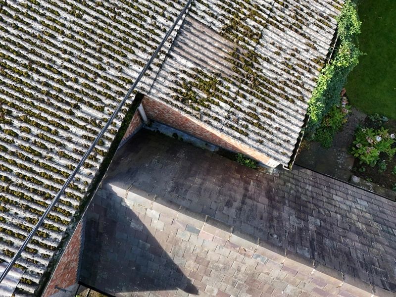
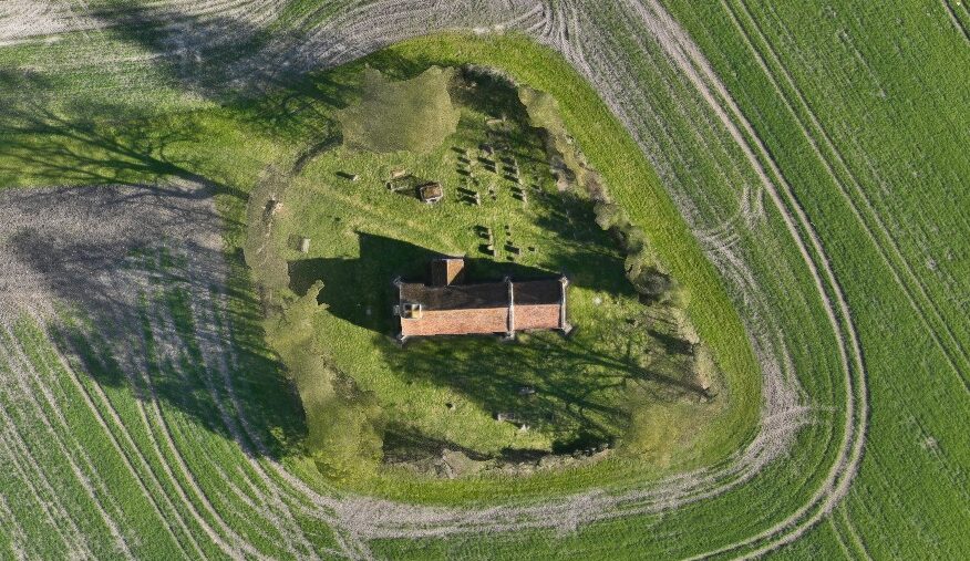
A selection from the Sky Eye Imagery portfolio, from site overviews to close-up inspections.
Plan your project
A starting point for your budget.
Tell me what you need, where it is and when you need it. Receive a free, no-obligation quote.
Short creative capture
from £150Around 30 minutes on site, with at least eight edited high-resolution images or video clips.
See creative capture ratesDrone mapping
from £200Mapping imagery and processing, with the area, dataset and final outputs agreed for your project.
See mapping ratesInspection photography
from £300Detailed aerial images of buildings and difficult-to-access areas. Reporting options are available.
See inspection ratesStarting prices are a guide. Travel, restricted-airspace applications and additional services may cost extra. Your quote confirms the scope and total before booking. View all hire rates and inclusions.
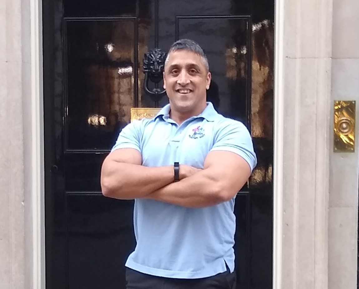
Meet your pilot
Aviation experience.
A personal service.
I’m Bitu Williams, the pilot behind Sky Eye Imagery. After 24 years in the Royal Air Force, I bring my aviation background to aerial photography, video and specialist drone work.
From the first conversation to the final files, you deal directly with me. We’ll discuss the job, check the location and agree the imagery you need before the flight.
- CAA A2 CofC & GVC
- Level 4 Diploma in Drone Piloting
- Thermography qualifications
From first idea to final files
Your project, in three simple steps.
Tell me about the job
Share the postcode, what you want to capture and your preferred date. I’ll discuss the options and provide a quote.
Plan & capture
I assess the location, flight requirements and permissions, then arrange a suitable date and capture the agreed imagery.
Receive your imagery
Get your photographs, footage or data in the agreed format and timeframe, with editing and processing as quoted.
Local knowledge. A wider view.
Drone services across Buckinghamshire and beyond.
Serving Aylesbury, Buckinghamshire, London and the Home Counties, with projects across nearby Oxfordshire, Hertfordshire and Bedfordshire.
Send the site postcode with your enquiry so I can check travel, airspace and access for your location.
Check your location & availability- Aylesbury
- High Wycombe
- Amersham & Chesham
- Milton Keynes
- Oxford & Bicester
- Hemel Hempstead
- Berkhamsted
- St Albans & Watford
- Leighton Buzzard
- London
Before you book
A few useful answers.
New to hiring a drone pilot? Start here, or get in touch to talk through your project.
View more FAQsHow much does it cost to hire a drone pilot?
Short creative capture starts at £150, mapping at £200 and inspection photography at £300. The cost depends on your location, the time on site, flight planning and the final deliverables. See the hire rates or ask for a tailored quote.
What should I include in my enquiry?
Your site postcode, the purpose of the imagery, your preferred date and any deadline are a good start. If you know which photographs, video or data formats you need, include those too. If you’re unsure, I can help you choose.
Can you fly at my property or site?
I assess each location before confirming the work. Suitability depends on airspace, safe access, nearby people and buildings, permissions and the conditions on the day. Send the postcode and a brief description with your enquiry.
What happens if the weather is unsuitable?
Flights depend on suitable weather. If conditions are unsuitable, I’ll discuss rescheduling with you. Let me know about any fixed deadline when you first enquire so it can be considered during planning.
What will I receive after the flight?
We agree the deliverables in your quote: these may include high-resolution photos, video clips, an edited video, inspection imagery, 2D mapping or 3D models. File formats, processing and the delivery timeframe depend on the project.
Let’s plan your flight
What could a different
perspective do for you?
Send me your location and a few details about your project. I’ll help you work out the next step.
Contact Bitu Williams
6am–9pm · Seven days a week
Same-day flights may be available, subject to planning, permissions and weather.