
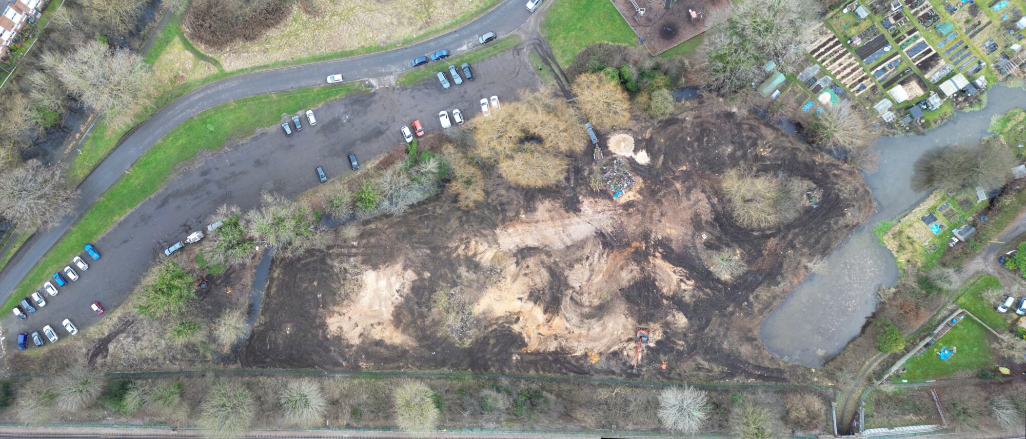
The planning system is a complicated and detailed process that can be supported by the inclusion of detailed Drone Imagery & Video products. At Sky Eye Imagery, we have cultivated a great relationship with a number of architects who are helping businesses apply for planning permission for a number of developments.
The beauty of a drone is that the drone can get into those hard to reach areas and take representative images and videos from certain heights that can help in the planning application submission. We ensure that a full understanding of a clients requirements are undertaken so that appropriate media can be captured in the best way to support you application.

Imagery clips can be stitched together to help in the planning application process, by giving you and the decision makers a greater understanding of how the land looks today. You can also annotate text on images that may help your application.

A drone can fly into areas that you may not be able to walk to. A drone can be flown to a low height and imagery taken that will give an example of how observable a development might be from certain heights.

The flexibility of Sky Eye Imagery means that we can come out we can come out at selected intervals to take imagery and video of areas of interest that could have an impact on a planning application. Apart from high winds and heavy rain, a drone is very versatile and can give regular updates on a site. These could help in giving vital evidence to your planning application and give a good foundation on mitigations that you are considering.

In the architecture and planning process, drone imagery can be annotated with vital information that will give a better understanding to decision makers on how your development will appear and affect the local landscape. From the ground, stakeholders will have one point of view. With quality aerial imagery those views can be developed and shown how a project will actually look and the impact it will have on the surrounding environment and community.