
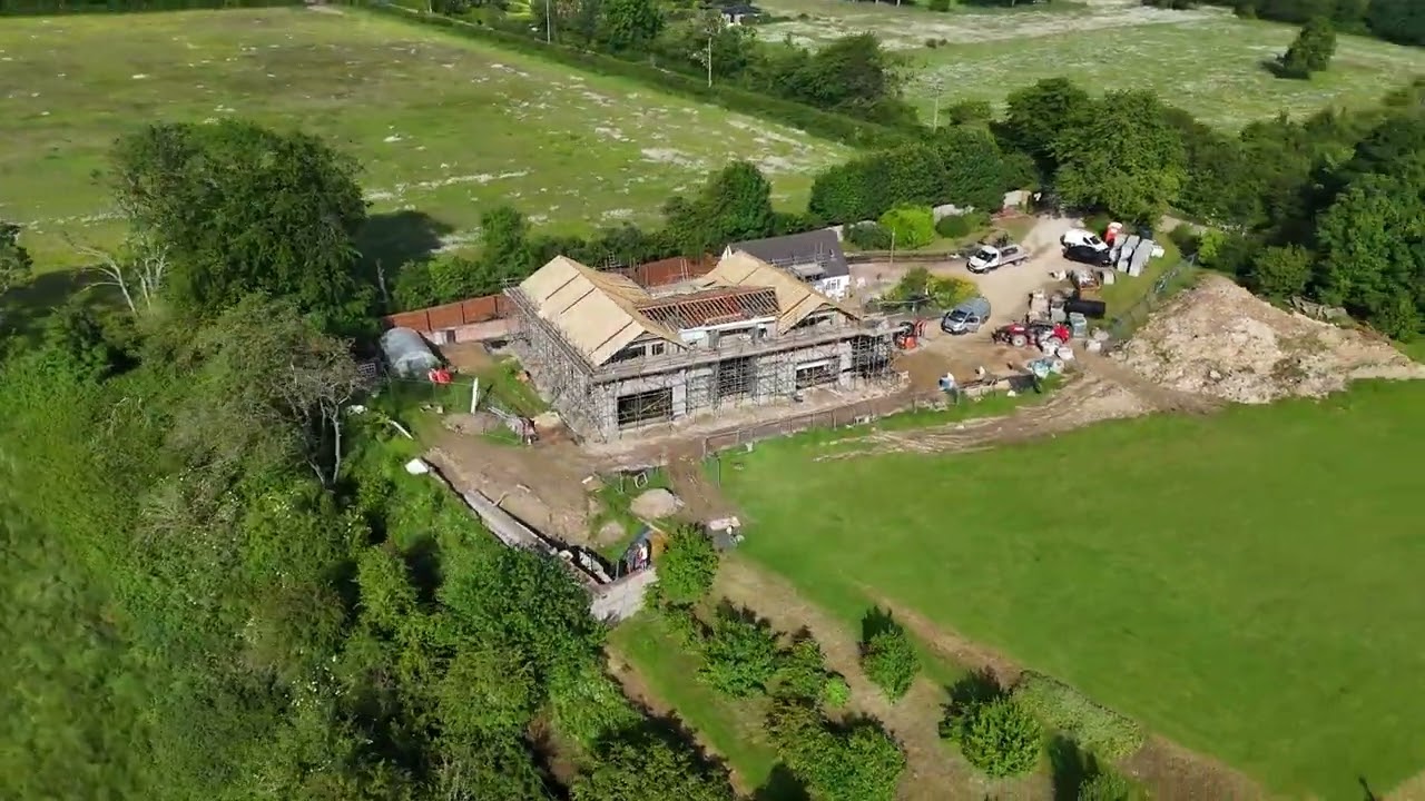
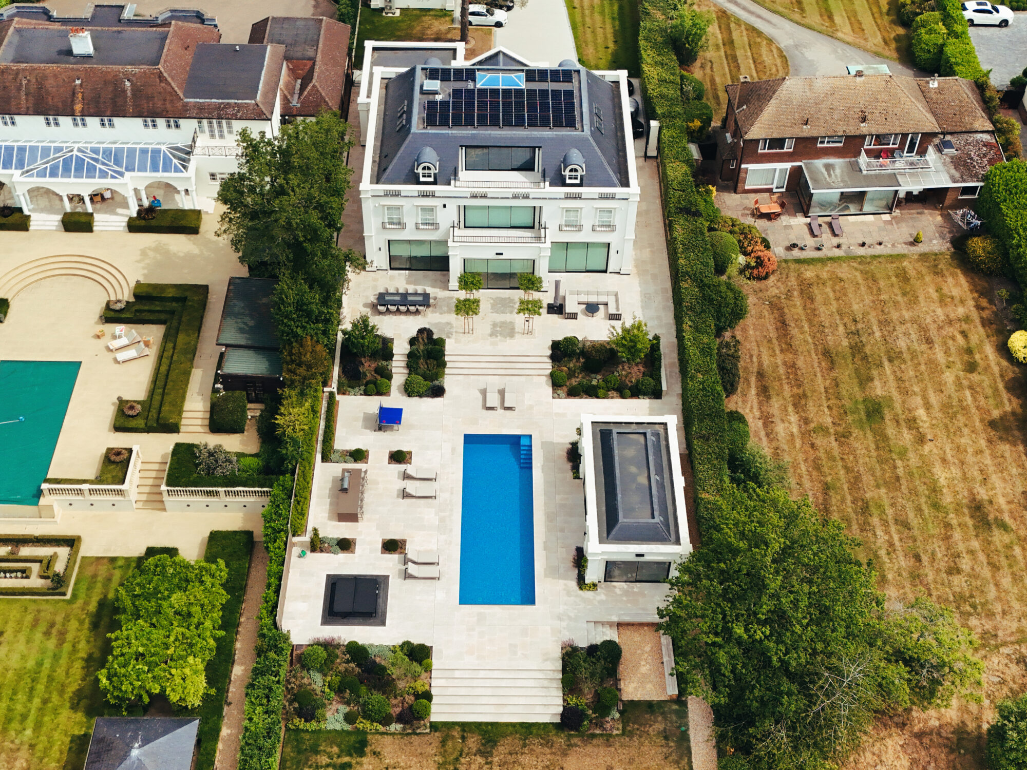
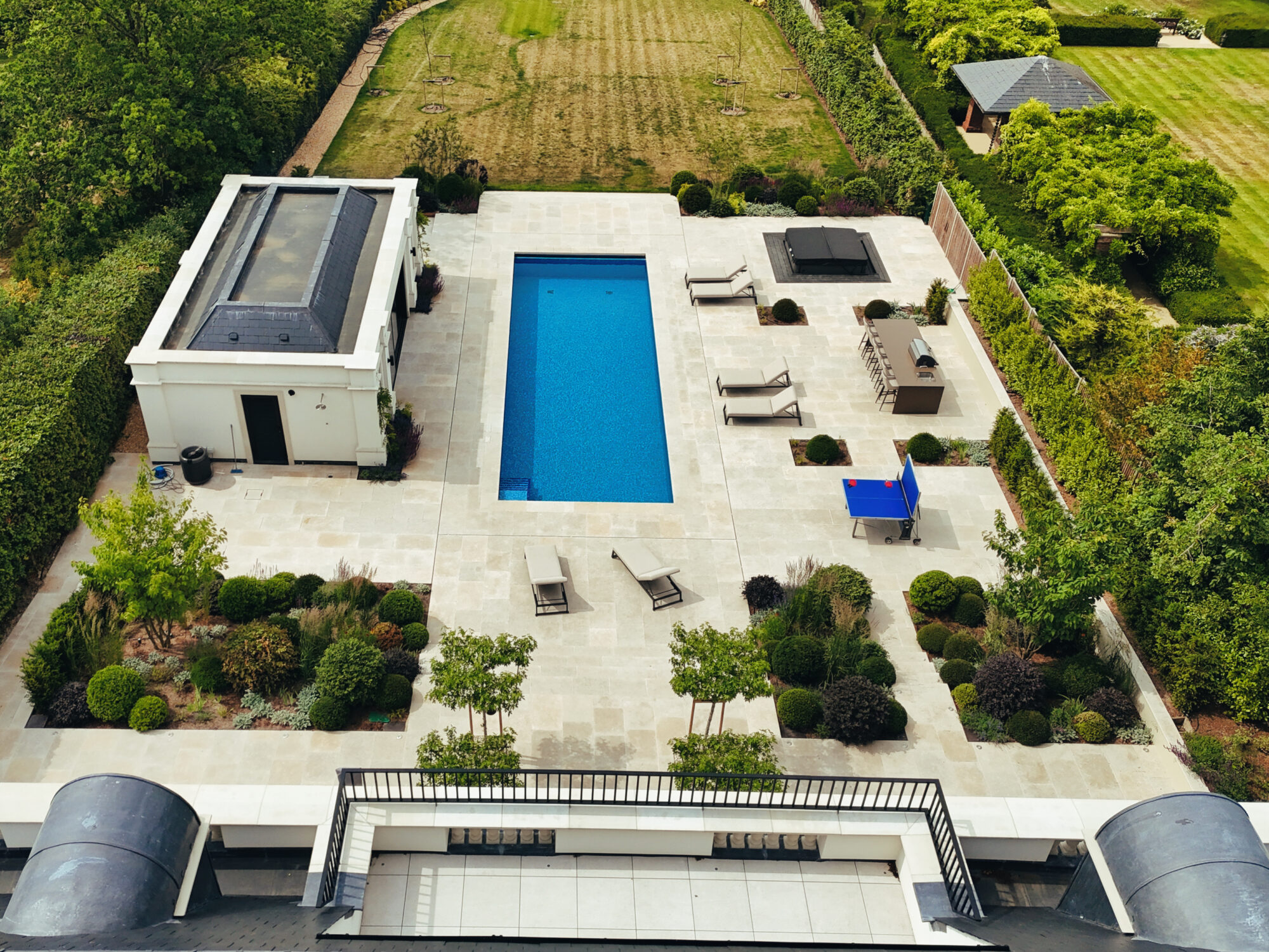
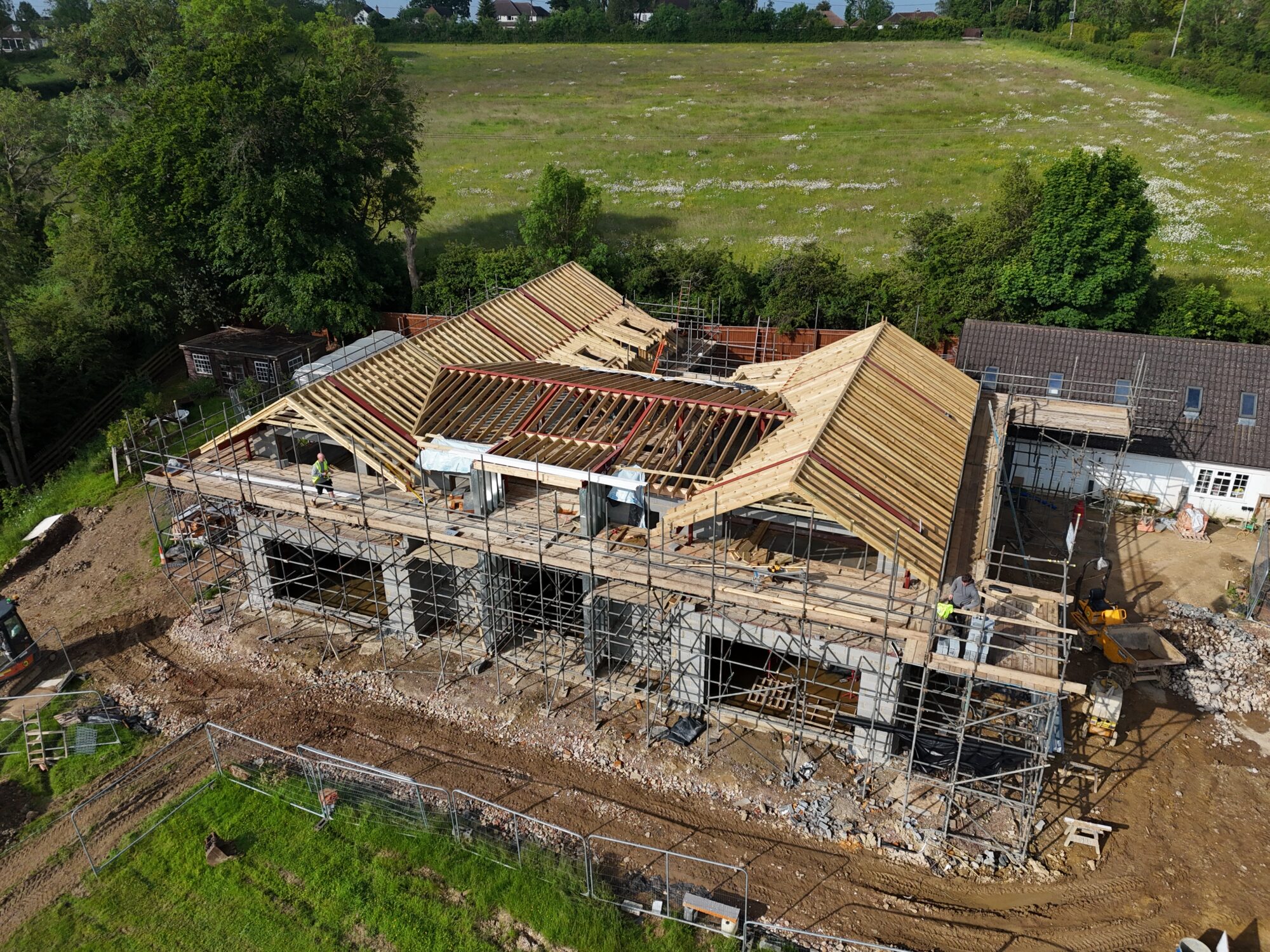
In the fast-paced world of property development, staying ahead of the curve is key, and one of the most innovative tools changing the game is drone imagery. This technology offers a bird’s-eye view of construction progress, providing a unique perspective that ground-level photography simply can’t match.

So, why is drone imagery becoming indispensable for properties under construction? Here are a few compelling reasons:
- Comprehensive Overview: Drones capture a comprehensive view of the entire property, which is invaluable for developers, investors, and clients who want to monitor construction progress. These aerial images can show how the property fits within its surroundings, providing a sense of scale and context that’s hard to grasp from the ground.
- Marketing Magic: For properties still under construction, drone imagery can be a powerful marketing tool. It can create visually stunning promotional materials that showcase the property’s potential, helping to attract buyers and investors even before the project is completed.
- Project Management: Drone footage can help project managers keep a close eye on construction activities, ensuring that everything is proceeding according to plan. It can also help in identifying potential issues early, saving time and money in the long run.
- Regular Updates: Drones can easily be flown over a site regularly, allowing for consistent updates. This is particularly useful for clients who may not be able to visit the site often but want to stay informed about the progress.
- Safety Enhancements: Drones can access areas that might be unsafe or inaccessible for humans, reducing the risk of accidents on-site. They can also be used to monitor safety compliance, ensuring that construction workers are following protocols.
Drone imagery is not just about taking pictures from the sky; it’s about providing a new perspective that enhances understanding, safety, and marketing potential.