
In the todays world, drone surveys have revolutionized the inspection industry, offering unparalleled accuracy, efficiency, and cost-effectiveness. At Sky Eye Imagery, we pride ourselves on providing top-notch drone survey services tailored to meet your individual needs. Whether you are a home owner, managing a construction project, inspecting infrastructure, or mapping agricultural fields, your expert drone pilot is here to support you every step of the way.

Who Can Benefit From A Drone Survey?
- Homeowners that own their own home and are looking for a cost effective way to inspect rooves, guttering, facades and grounds.
- Freeholders of land and property such as a block of flats. Drone imagery is perfect if you require regular survey footage of your holdings for insurance, maintenance and regular monitoring purposes.
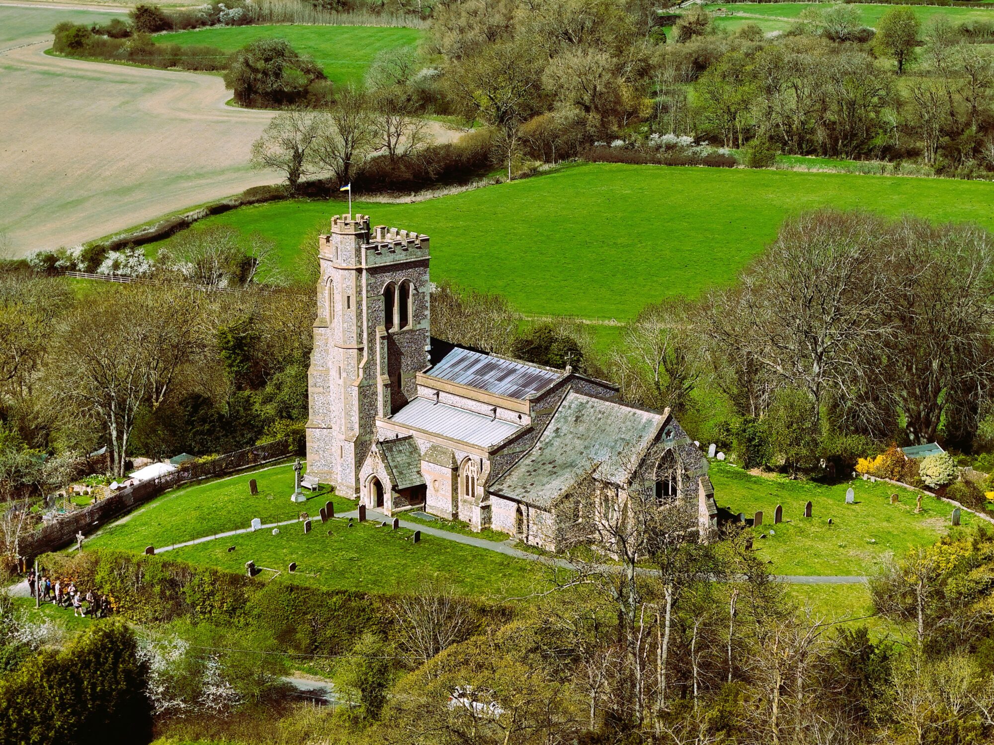
- Historic Building Custodians of delicate property that needs inspection footage of hard to reach areas as well as rooves and grounds.
- Architects that are planning construction projects. Drone imagery, video and panoramas can be used within your reports and planning documents.
- Construction managers of small and large projects. Highly detailed imagery that is orthorectified can be acquired at regular intervals and combined with other products to help you monitor construction.
- Event planners that work to host small and large scale public events. Survey imagery can be to help you plan the optimum lay out of a site. This will help you to visualise perimeters, security posts, point of interest and even depressions that could be subject to flooding in adverse weather.

Types of Drone Surveys Available
Sky Eye Imagery specializes in a variety of drone surveys that have been conducted for both private households, large landowners and multi national construction firms. There is always post capture support where I will answer any questions you have and help you to get the most out of the products delivered.
Drone Mapping and Photogrammetry
This type of survey creates detailed and accurate 2D maps and 3D models that can be used for planning and analysis. I can undertake all the post capture processing work if required and deliver them in an easy to use form that you can use straight away.


Topographic Surveys
The RTK system ensures that each image is captured with very precise geodata. When the images are processed very precise elevation data is generated for terrain mapping and land development. Customers can upload the raw to their systems with ease.

Thermal Imaging Surveys
The specialist thermal IR drones that I use can help to identify heat anomalies for energy audits, roof inspections, and pipeline assessments.


Roof and Building Inspections
Drone imagery can be used to safely inspect rooftops and structures for damage or maintenance issues. The drone is able to see areas that would only be accessible with a ladder or scaffolding. The high quality drone imagery that Sky Eye Imagery provides will give you the best detail possible for your needs. You should be able to identify potential issues and rectify them before they become a problem.


Construction Progress Monitoring
Drone imagery is the perfect way for construction managers to track the progress of projects with up-to-date aerial visuals that can be used for a multitude of different purposes. Interested personnel can monitor how a project is progressing and if any adjustments need to be made. Imagery can be easily sent to wide variety of customers and can be used for audit purposes.


The Process For Booking a Drone Survey
At Sky Eye Imagery, We understand the importance of a streamlined and professional process. Here’s how I prepare, capture, and deliver my drone survey products:
- Initial Consultation
- I will begin by understanding your specific needs and objectives. I will work closely with you to define the scope of the survey and tailor the services to your requirements.
- Site Assessment and Planning
- I will conduct a thorough online site assessment to evaluate any potential challenges, ensuring a safe and efficient operation. This includes checking airspace regulations, obtaining necessary permissions, and creating a flight plan to optimize drone capture for your requirements.
- Survey Day: Data Capture
- On the scheduled day, I will arrive at the site with state-of-the-art drones and equipment. Using precise flight paths, I will capture high-quality aerial data, ensuring accuracy and safe operation. I have updated RAMS for your information.
- Data Processing and Analysis
- Once the data is captured, I will process it using advanced software to create actionable products. This may include creating maps, models, or inspection reports based on your specific needs.
- Delivery of Products
- Finally, I will deliver the survey products in the format that best suits your requirements. Whether it’s a detailed report, interactive 3D model, or raw data, I will ensure it’s ready for your immediate use.
Contact Bitu Williams for a Free Consultation and Quote
Same day flights maybe available
0600 – 2100hrs 7 days a week.
Phone: +447745966840
Email: info@skyeyeimagery.com

