The Benefits of a Drone Survey: Why You Need Aerial Data
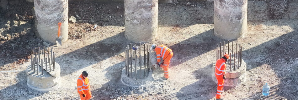
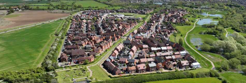
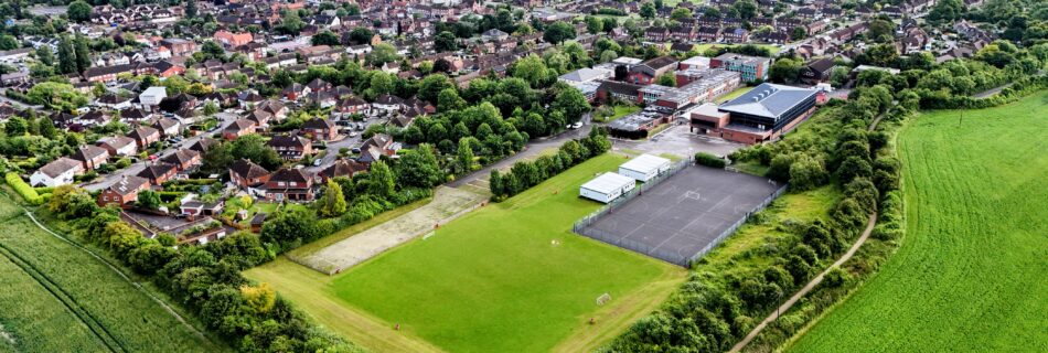
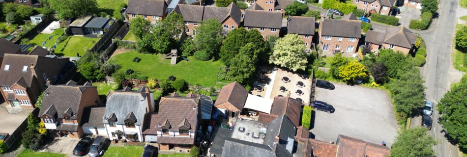
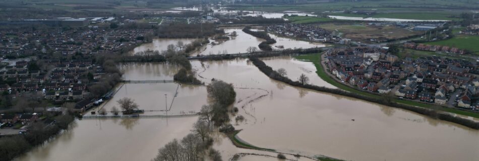
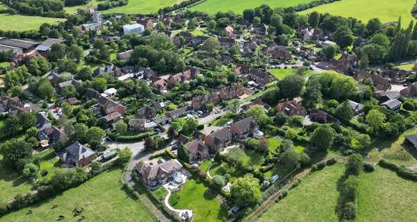
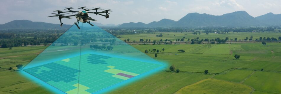
Drone surveying has rapidly become one of the most valuable tools across construction, property, infrastructure, and environmental projects. Whether you’re assessing a roof, mapping a development site, or capturing topographical data, drones deliver a level of speed, safety, and precision that traditional methods simply can’t match. What Is a Drone Survey? A drone survey uses …
Read more “The Benefits of a Drone Survey: Why You Need Aerial Data”