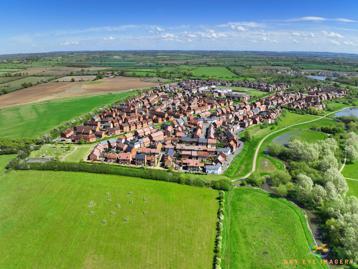
Losing a beloved pet is a heart-wrenching experience, and the search for a lost dog can be both time-consuming and emotionally draining. However, advancements in technology, particularly in the field of aerial imagery and thermal infrared (IR) drones, have revolutionized the way we search for lost pets. Sky Eye Imagery’s thermal IR drone, offers a powerful tool help locate lost dogs quickly and efficiently.
The Power of Thermal IR Drones
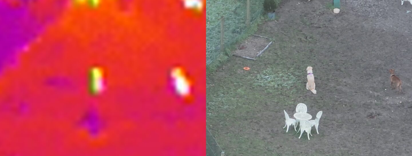
Thermal IR drones are equipped with cameras that detect heat signatures. Unlike regular cameras that capture visible light, thermal cameras detect the infrared radiation emitted by all objects, including living beings. This capability makes thermal IR drones incredibly effective in locating lost dogs, especially in challenging environments such as dense forests, tall grass, or urban areas with numerous hiding spots.
How Sky Eye Imagery IR Drones Work
- Heat Detection: Thermal IR drones can detect the heat signature of a lost dog, even if it is hidden under light foliage or debris. The dog’s body heat stands out against the cooler background, making it easier to spot from the air.
- Wide Coverage: Drones can cover large areas quickly, significantly reducing the time required to search for a lost dog. This is particularly useful in rural or expansive areas where ground searches would be impractical and time-consuming.
- Real-Time Monitoring: The live feed from the drone’s camera allows search teams to monitor the area in real-time. This immediate feedback enables quick decision-making and increases the chances of locating the lost dog promptly.
- Night Searches: Thermal IR technology is not dependent on visible light, making it ideal for night searches. The ability to conduct searches after dark can be crucial, as lost dogs may be more active and easier to locate during the cooler night time hours.
Practical Applications
- Urban Areas: In towns, lost dogs often hide in alleys, parks, or under vehicles. Thermal IR drones can navigate these complex environments and detect the heat signatures of dogs that might be missed by human searchers.
- Rural and Forested Areas: In rural settings, dogs can wander into dense forests or fields. The aerial perspective provided by drones, combined with thermal imaging, can penetrate these challenging terrains and locate the dog more efficiently than ground searches.
- Only Part of the Solution: Through huge experience I have learnt that the IR drone is only part of the searching process. The best way to utilise the IR drone is to have positive locations where the dog was last seen and relayed to the operator. The drone can then conduct various flights at different angles and heights to try and detect the dog.
- There are limitations: As competent as I am; the lens of the thermal cameral can only search a certain area of ground at one time. An animal will travel where they want, where their nose takes the, and where they feel comfortable.
- When the temperature of the air and land become the same (Thermal Crossover) detection of animals is low.
- After the Sun rises and before the Sun sets, long shadows from trees etc, does interfere with thermal returns
- The best way to utilise a Thermal IR Drone operator is where a dog has been seen in the last 60 minutes
Conclusion
Sky Eye Imagery Thermal IR Drones represent a significant advancement in the search for lost dogs. By leveraging the power of thermal detection, wide coverage, real-time monitoring, and night search capabilities, these technologies offer a faster, more efficient, and less stressful way to locate lost pets. As drone technology continues to evolve, we can expect even more innovative solutions to help reunite lost dogs with their families.
You may be able to claim the cost of the drone search against your pet insurance.
Contact Bitu Williams for a Free Consultation and Quote
Same day flights maybe available
0600 – 2100hrs 7 days a week.
Phone: +447745966840
Email: info@skyeyeimagery.com
Email: skyeyeimageryuk@gmail.com


